Explore your project sites through immersive 3D visuals and animated flythroughs.
JP Surveys offers cutting-edge 3D Flythrough and Visualization services that transform complex spatial data into immersive, easy-to-understand visual content.
These high-quality 3D simulations are ideal for planning, presentations, and stakeholder engagement, providing a realistic preview of proposed developments or surveyed environments.
By integrating geospatial data with advanced rendering techniques, JP Surveys enables clients to visualize terrain, infrastructure, and project layouts with clarity and precision—supporting better decision-making and communication.
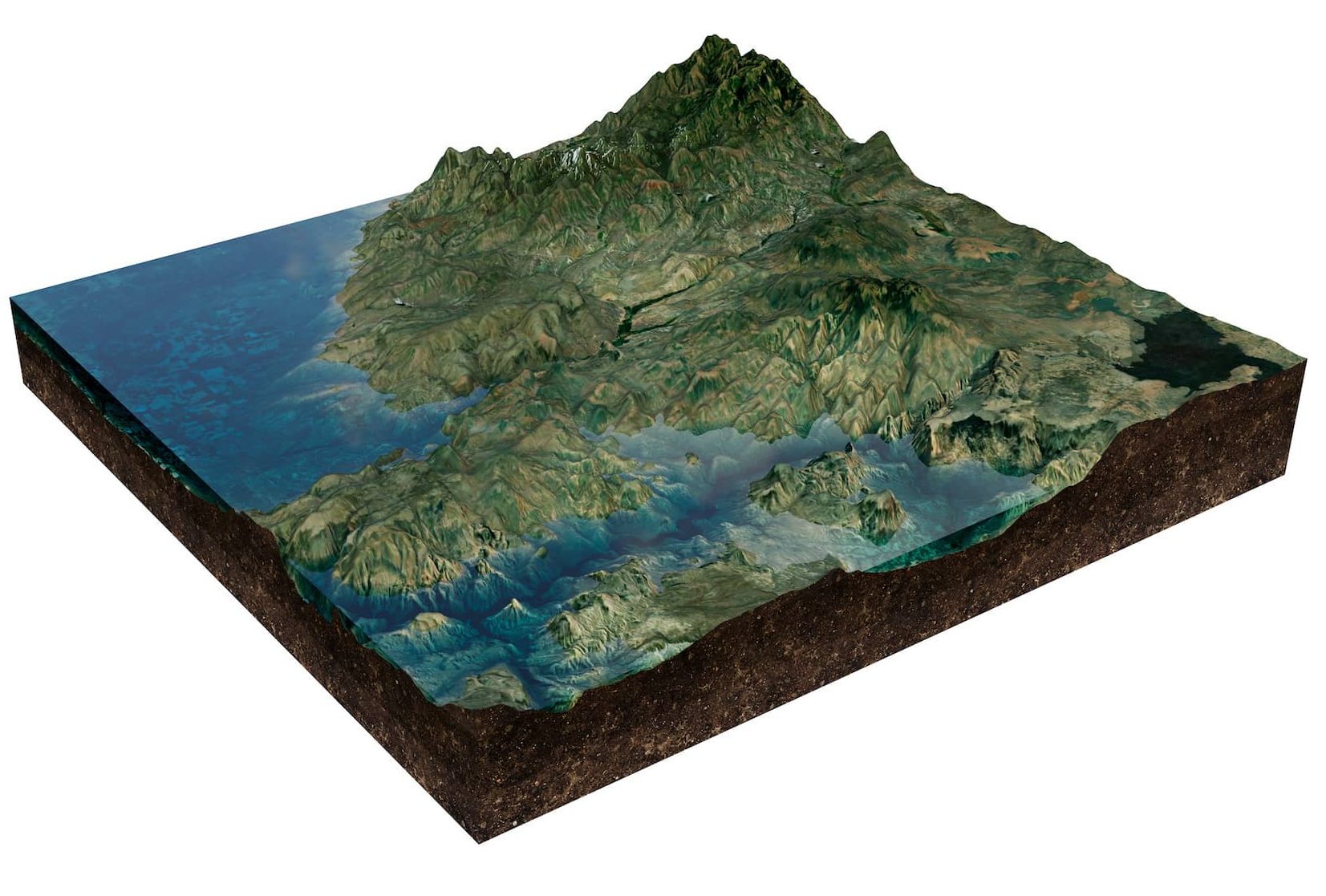
Present projects with lifelike terrain, structures, and site conditions for better spatial understanding.
Models are based on actual survey, LiDAR, and geospatial data for reliable representation.
Help stakeholders, clients, and the public visualize complex projects clearly and effectively.
Supports informed decision-making during the conceptual and development phases.
Ideal for presentations, proposals, and public consultations with compelling visual narratives.
Visualizations can highlight key areas, phasing, or timelines tailored to your project.

We deliver solutions that align with your specific project requirements. Our team provides expert support and clear direction, ensuring you get the results you need—efficiently, accurately, and professionally.
JURUKUR PERUNDING SERVICES SDN BHD 197801000924(37933-V)
No7. Jalan Industri PBP 3,
Taman Industri Pusat Bandar Puchong
47100 Puchong, Selangor Darul Ehsan
Tel : +603-5623 3228
Emails :
info@jpsurveys.com
mapping@jpsurveys.com (Mapping)
surveys@jpsurveys.com (Land Surveys)