High-resolution radar imaging for precise elevation mapping—IFSAR delivers accurate terrain data even through cloud cover and dense vegetation.
LIDAR
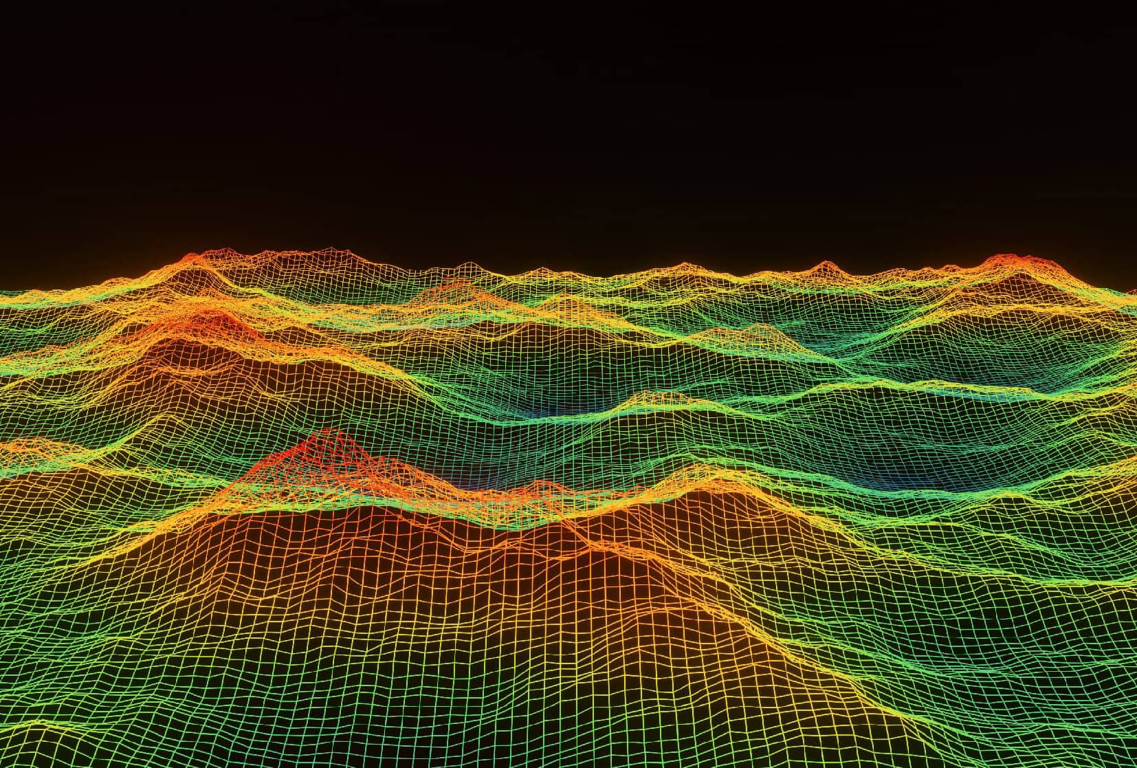
JP Surveys offers cutting-edge LIDAR (Light Detection and Ranging) technology for high-precision topographic mapping and 3D modeling. Using airborne laser scanning systems, LIDAR captures dense, accurate spatial data, making it ideal for analyzing terrain features, vegetation, and built environments.
It enables detailed surface models, even in heavily forested or challenging landscapes, with high vertical and horizontal accuracy.
Key Features & Benefits
High Accuracy
Produces detailed and precise elevation data with minimal distortion.
Penetrates Vegetation
Captures ground surfaces even through tree canopy, ideal for forestry or flood studies.
Rapid Data Collection
Covers large areas quickly, reducing time and cost compared to ground-based methods.
Versatile Applications
Supports infrastructure planning, flood modeling, environmental monitoring, and more.
3D Modeling
Delivers data suitable for Digital Terrain Models (DTMs), Digital Surface Models (DSMs), and advanced visualization.
Our Solutions
Detailed Scope of Work
Data Characteristics
Date of acquisition
Vertical accuracy
Vertical datum
Horizontal accuracy
Horizontal datum
Capturd terrain model
Laser return
Laser footprint size
Limitation of Data
The definition of the ground under trees or in building shadows may be less accurate.
This data has not been field tested for completeness.
Need a Tailored Solution? Get in Touch With Us
We deliver solutions that align with your specific project requirements. Our team provides expert support and clear direction, ensuring you get the results you need—efficiently, accurately, and professionally.