Aerial Mapping using UAV/Drone systems enables rapid data acquisition with high-resolution imagery and precise geospatial outputs—ideal for surveying, monitoring, and detailed terrain analysis.
Aerial Mapping/UAV/Drone Survey
JP Surveys provides professional Aerial Mapping services using advanced photogrammetry and remote sensing techniques. By capturing high-resolution aerial imagery via manned aircraft or drones, the company delivers accurate spatial data for large-scale mapping, terrain modeling, and planning applications.
This method is highly effective for accessing difficult terrain, generating orthophotos, and supporting geospatial analysis in both urban and rural environments.
Key Features & Benefits
High-Resolution Imagery
Captures detailed ground features suitable for mapping, design, and planning.
Large Area Coverage
Efficiently maps extensive regions, reducing time and cost compared to ground surveys.
Accurate Orthophoto Production
Generates georeferenced, distortion-free images ideal for GIS and planning tools.
3D Terrain Modeling
Supports creation of Digital Elevation Models (DEM), contour maps, and surface analysis.
Access to Remote Areas
Ideal for inaccessible, forested, or hazardous locations.
Our Solutions
Detailed Scope of Work
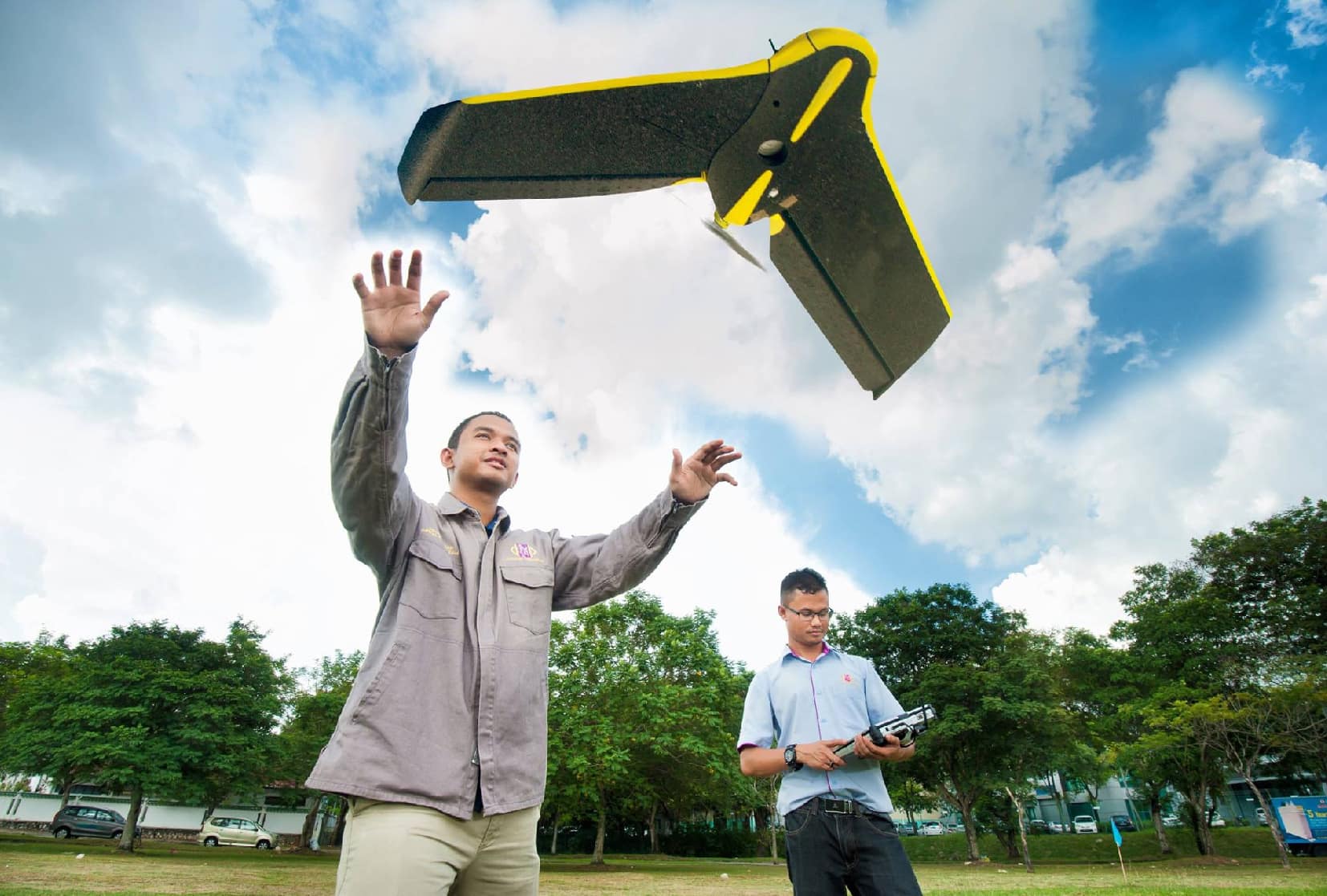
Unmanned Aerial Vehicle (UAV)
5-20cm Ground Sample Distance
Fast Deployment to Site
High Accuracy
Quick Result Delivery
Cost Effective for Small to Medium Size Coverage.
Benefits
Light & Mobile System, Fast Deployment to Site
Fast Data Processing, Quick Result Delivery
Accurate & Reliable Data
Applications
Infrastructure Planning
Proposed Real Estate Planning
Construction Progress Photography
Route Selection
Asset Mapping
Mining
Agriculture (Infrared Imagery)
DSM, Volume, Profile
Map Updating
Disaster Management
Deliverables:
Orthophoto Mosaic
DSM/Point Cloud
Google Map Tiles
DTM (optional)
Deliverables
Orthophoto Mosaic
DSM/Point Cloud
Google Map Tiles
DTM (optional)
Digital Line Map, DTM and Orthophoto
Proven and cost effective method in acquiring reliable 2D and 3D spatial information from aerial or satelite images
Compatible format for CAD/CADD/GIS applications
Areas of application (including but not limited to) :
Universally used to produce all-purpose topographical maps (usually 1:2000 – 1:10 000 scale)
Determining routes
Preliminary Engineering Planning & Design
Asset Management and Planning
Digital Terrain Modelling, Profile Generation, Contour Maps, Slope Analysis, Cut and Fill, Volume Calculation
GIS and Map Updating
Flexibility/Add-on offered :
Use existing images(cost-effective)
New acquisition (including flying) capture latest condition on site
Mono or stereo data interpretation & extraction
3D fly through or virtual fly through
Project Gallery
Need a Tailored Solution? Get in Touch With Us
We deliver solutions that align with your specific project requirements. Our team provides expert support and clear direction, ensuring you get the results you need—efficiently, accurately, and professionally.