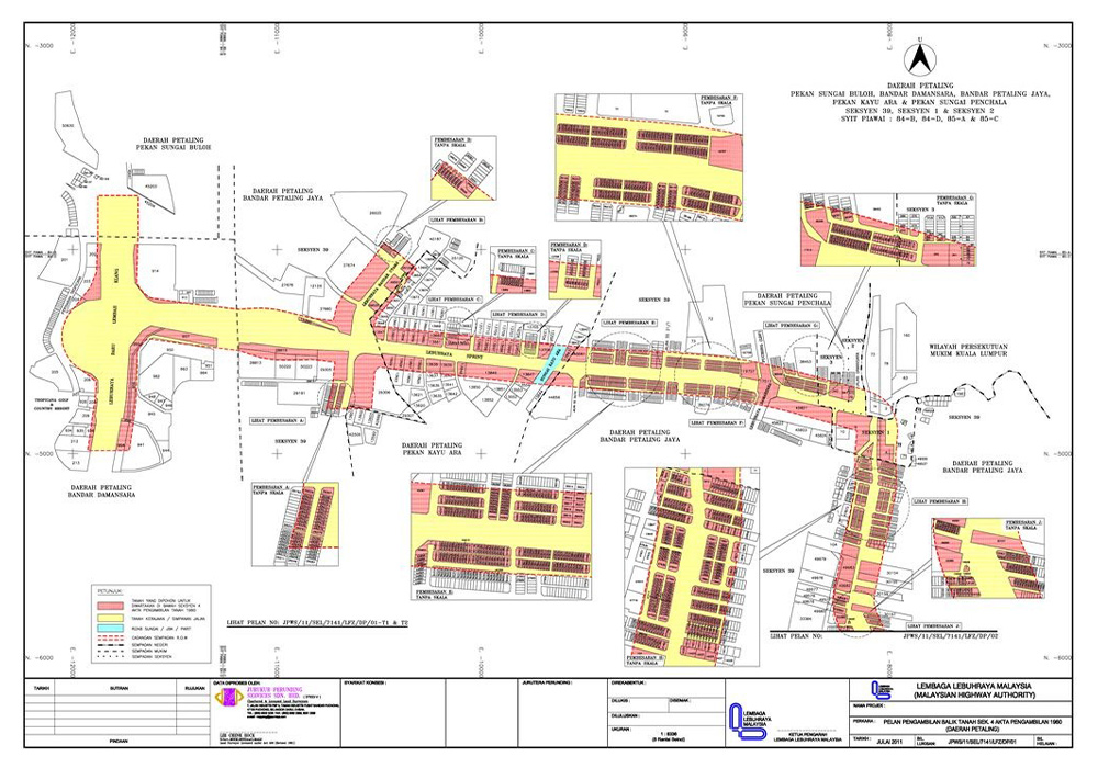
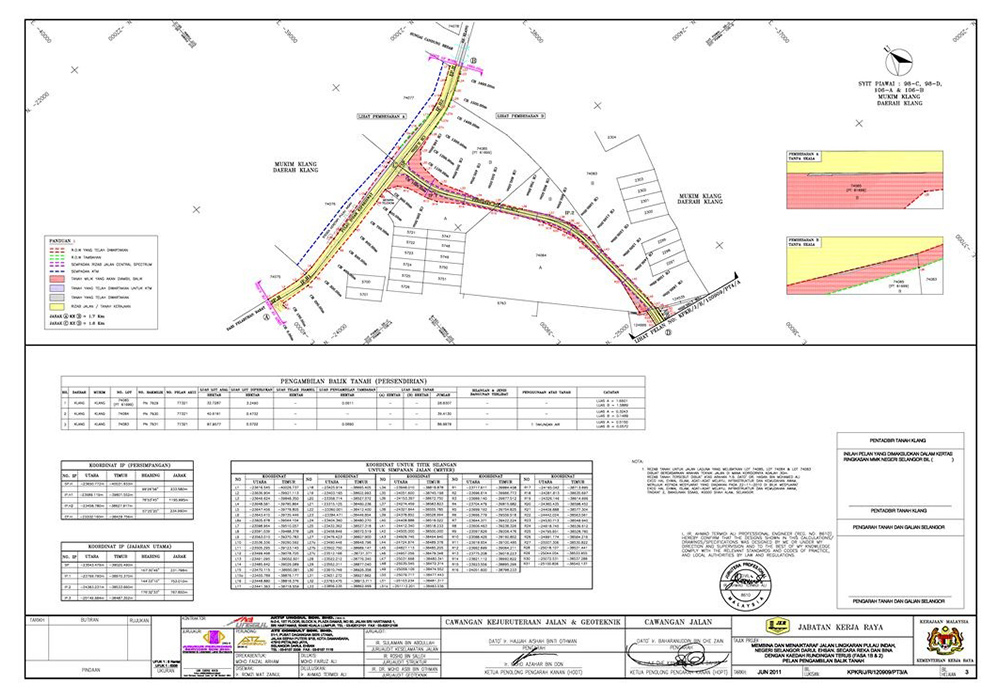
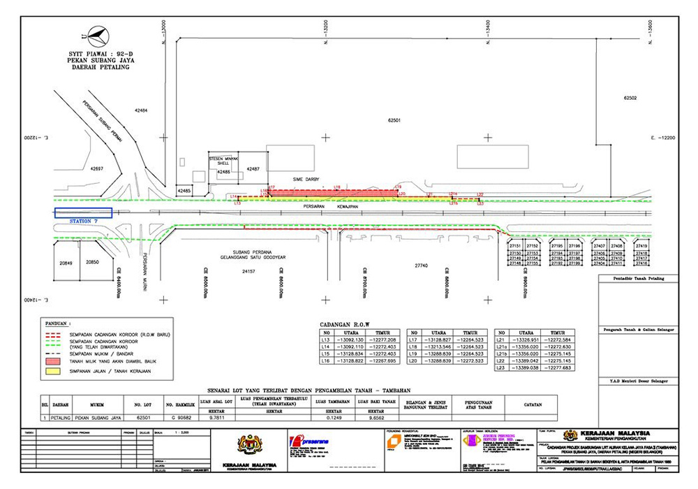
Delivering precision-driven surveying and geospatial solutions across Malaysia and the region. Explore a selection of our completed projects in land, aerial, hydrographic, and spatial data services.
Discover how JP Surveys supports development across Malaysia through reliable, results-driven survey projects. From infrastructure and planning to environmental and land-based initiatives, our work reflects a commitment to precision, collaboration, and long-term impact.
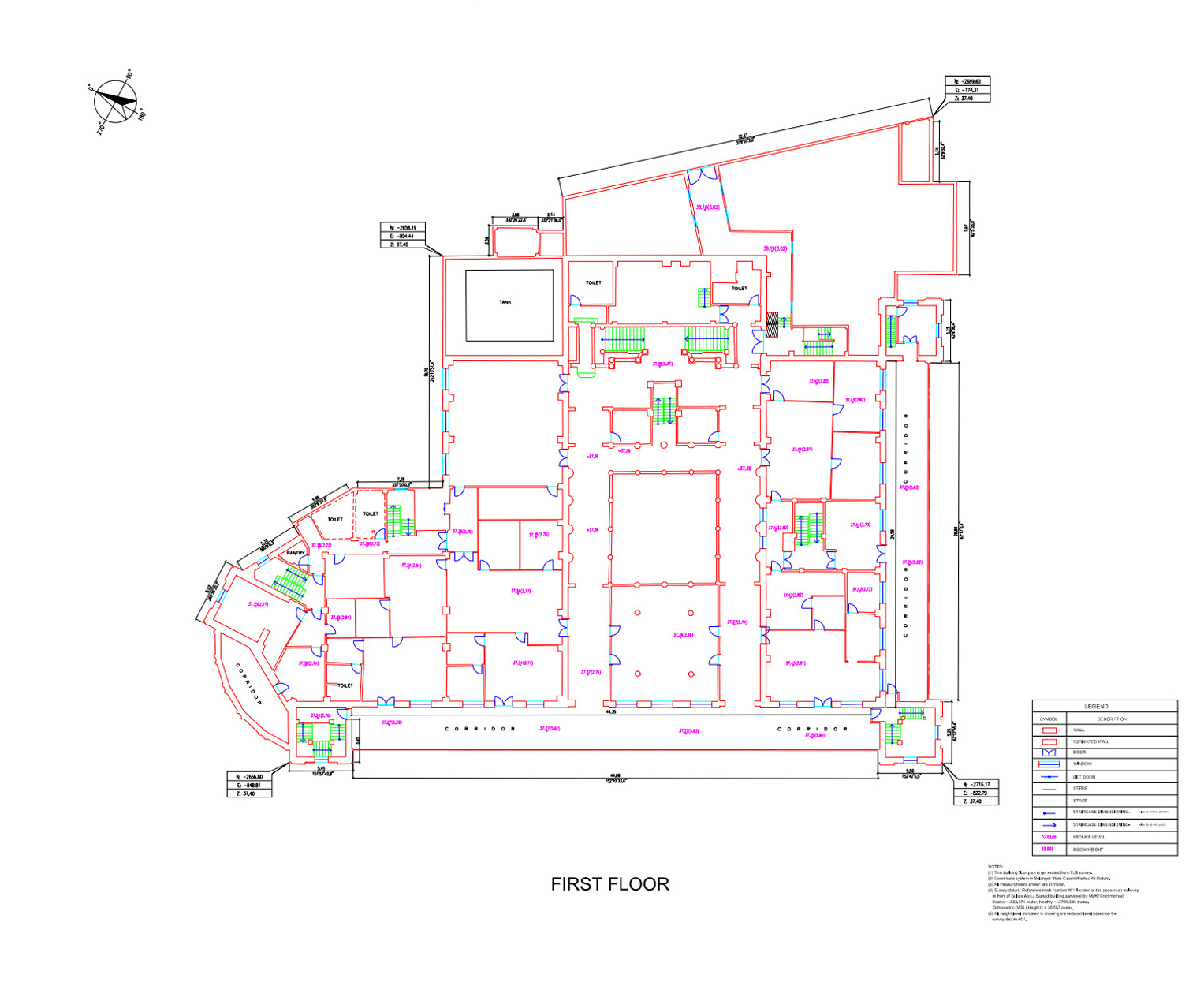
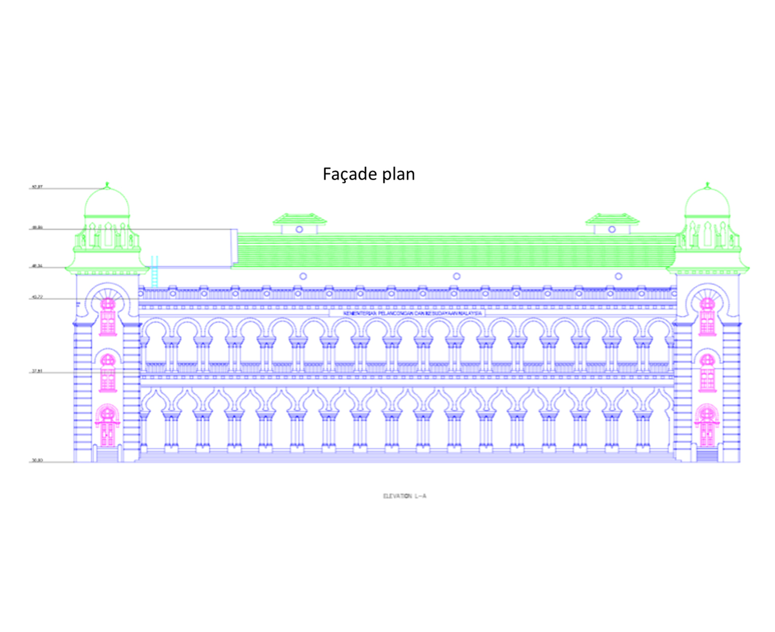
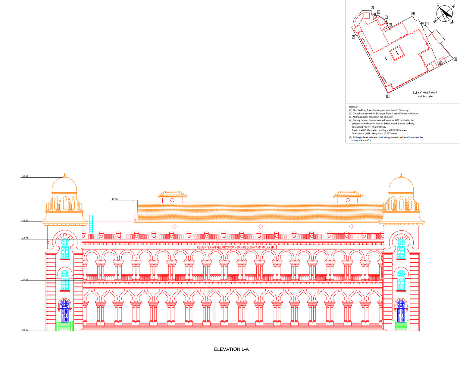
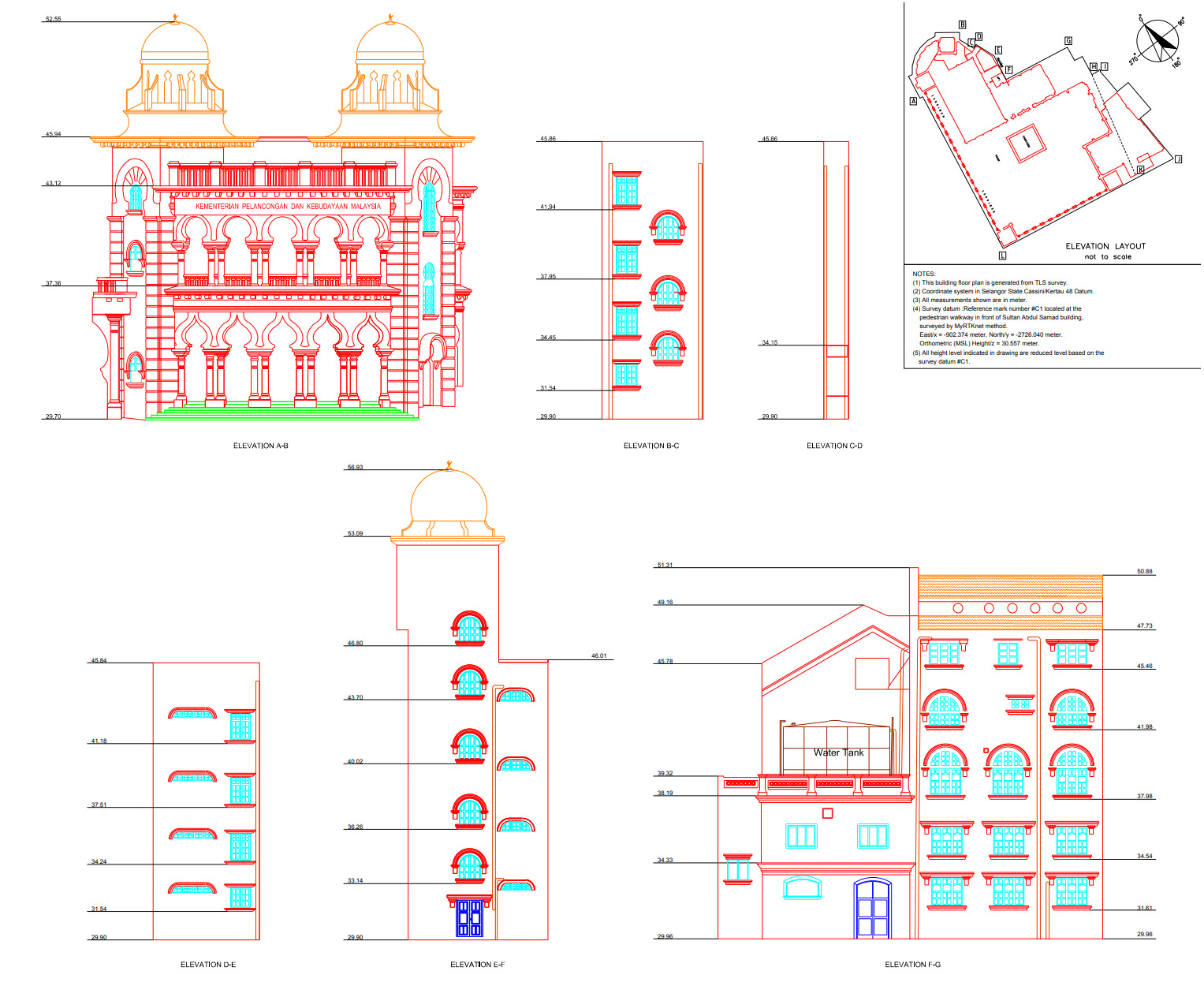
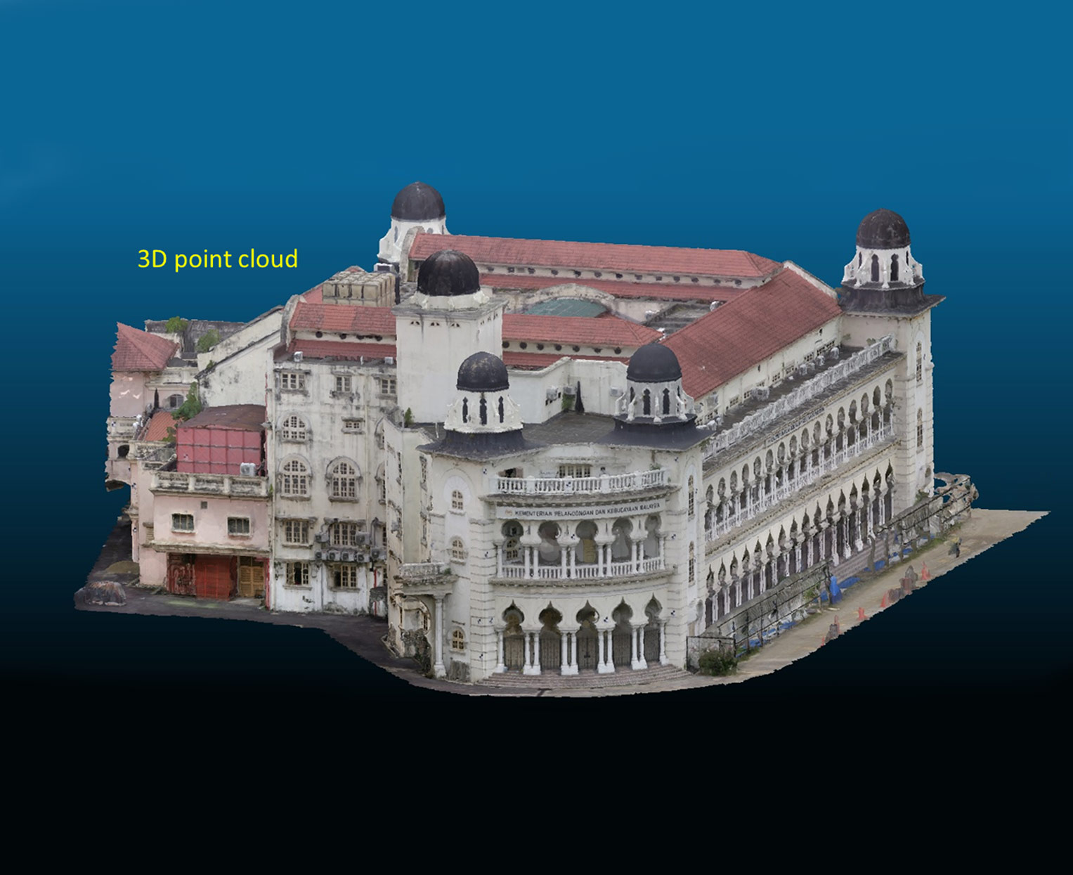
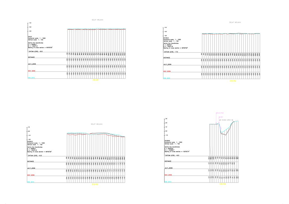
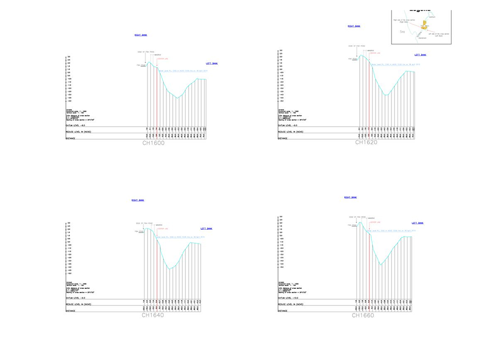
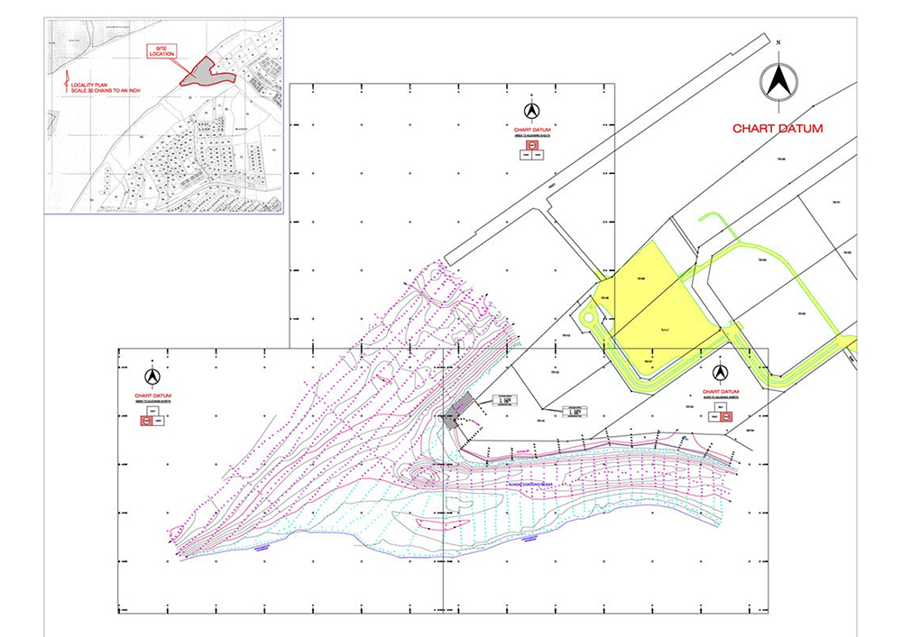
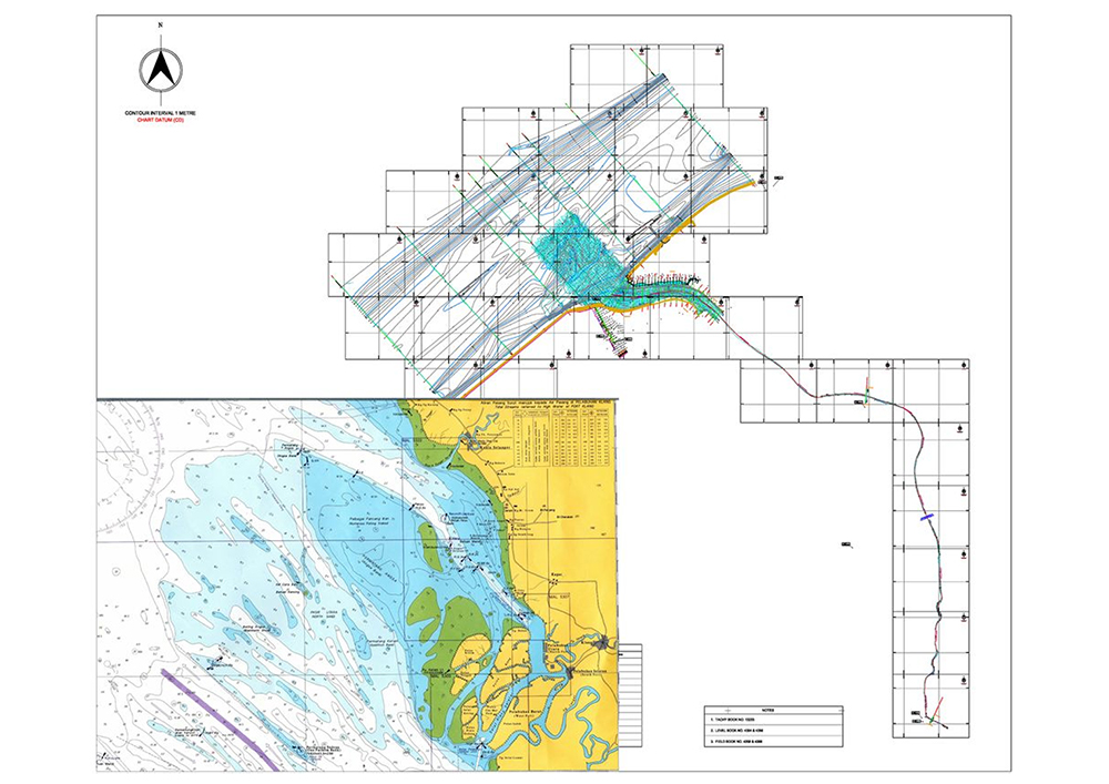
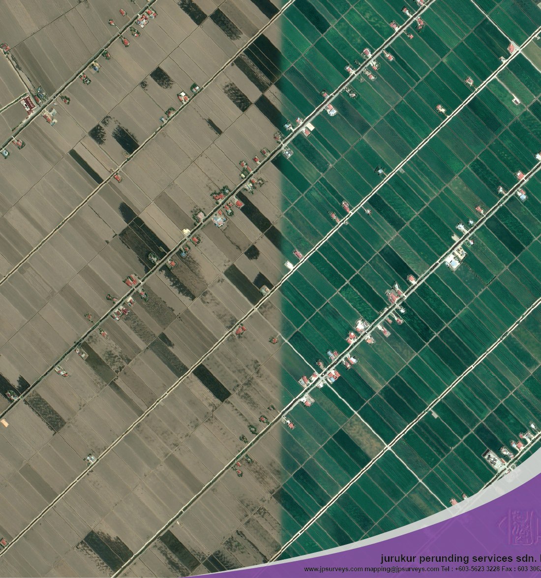
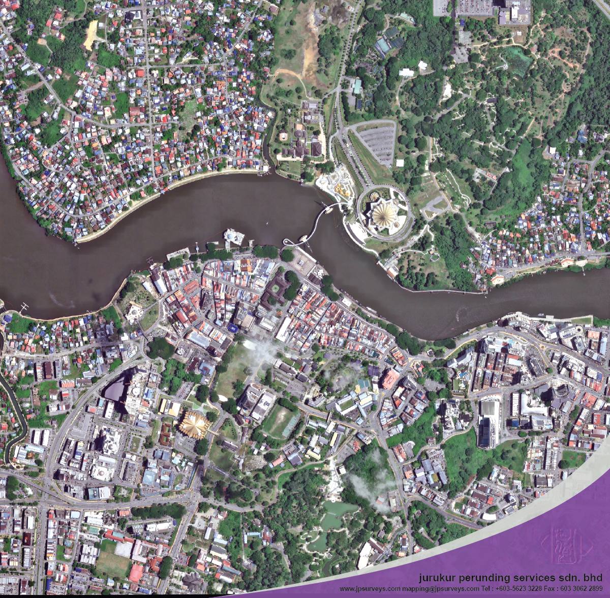
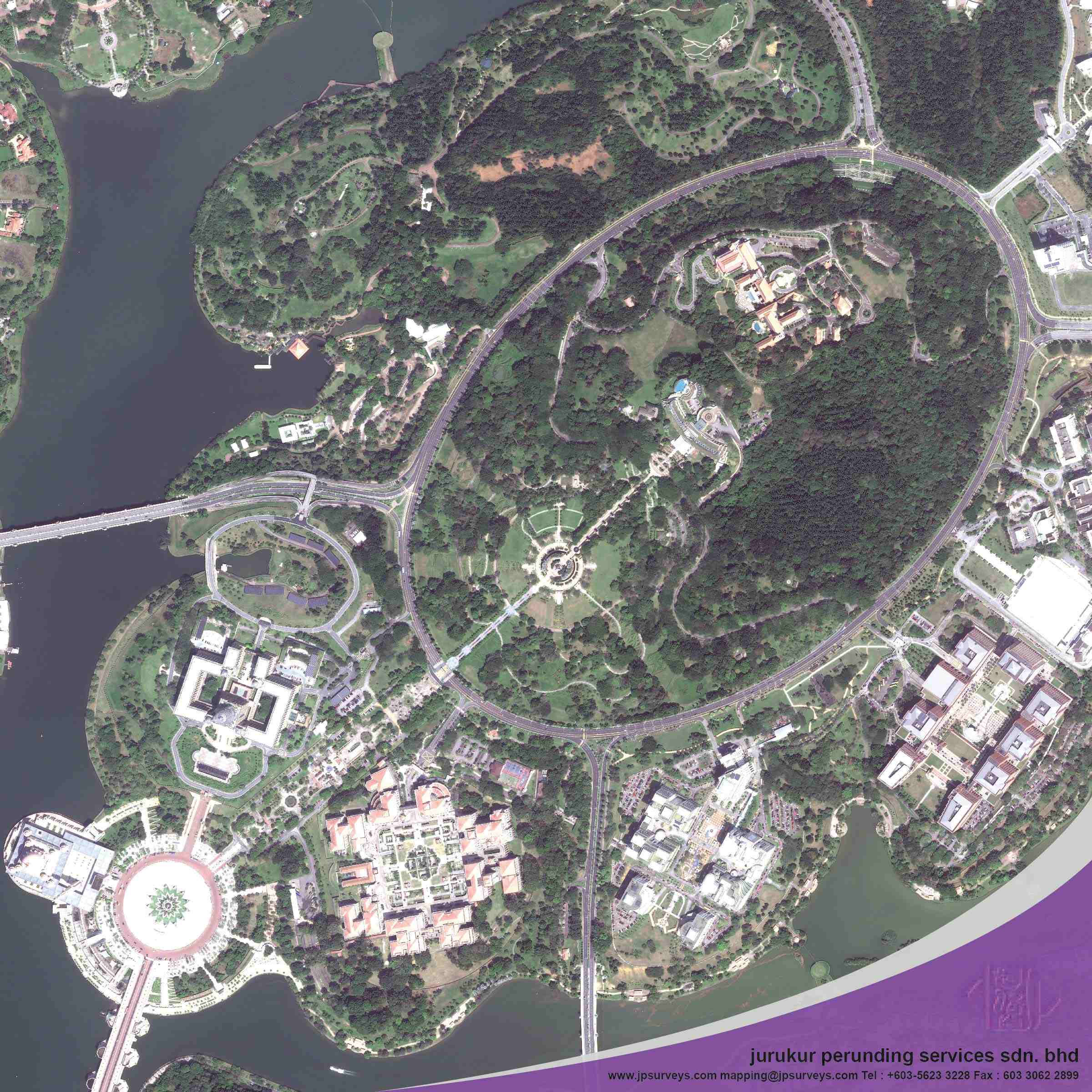
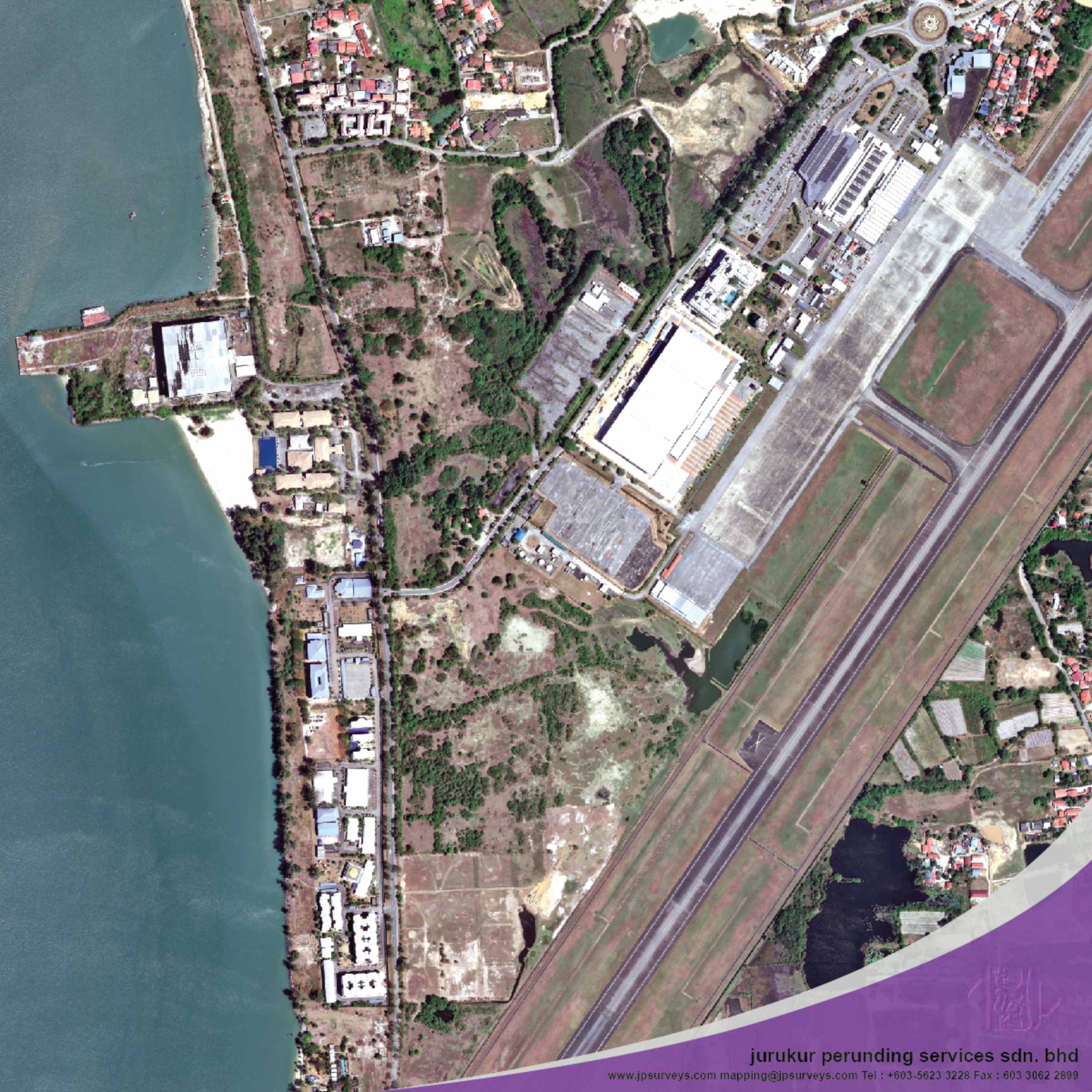
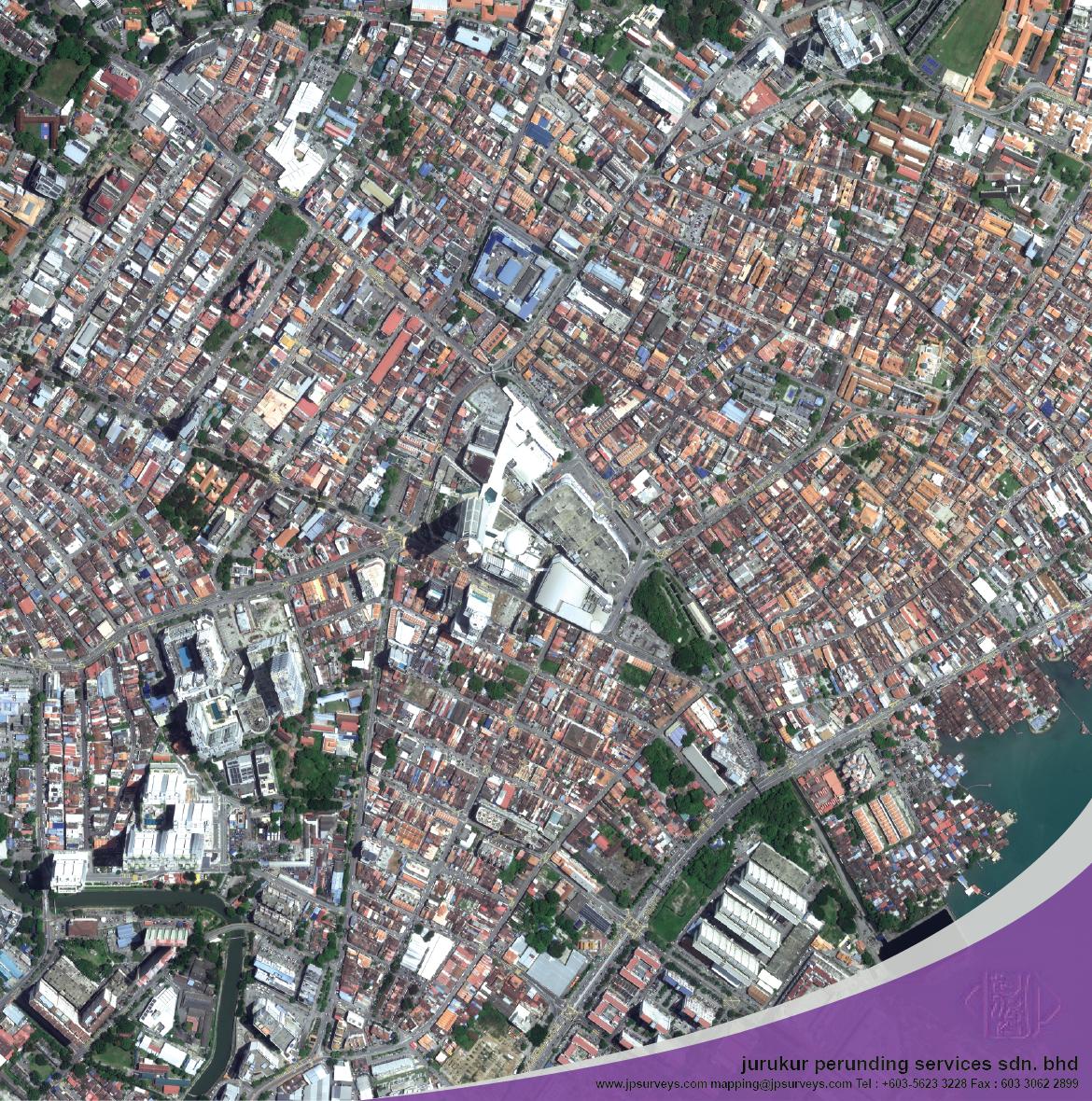
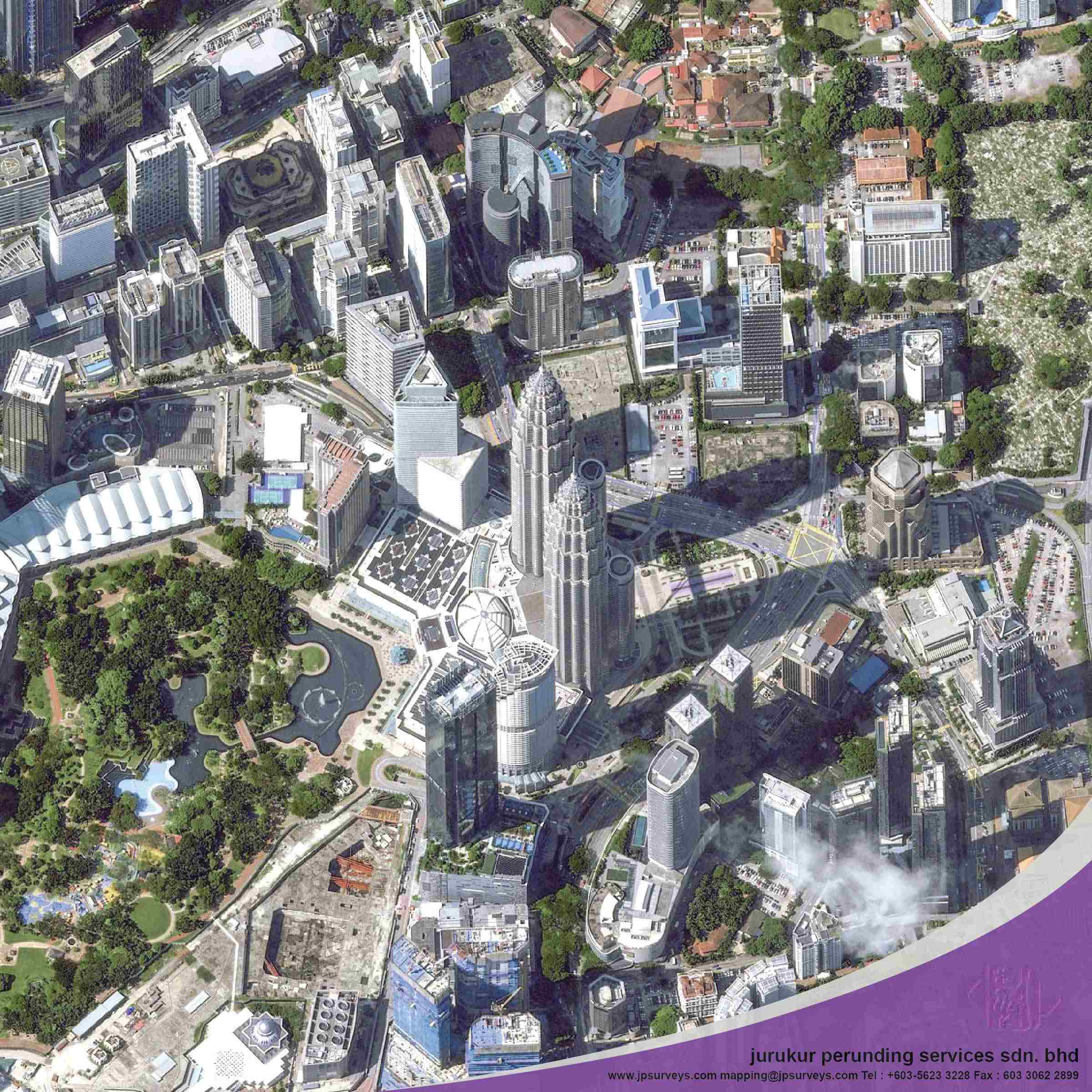
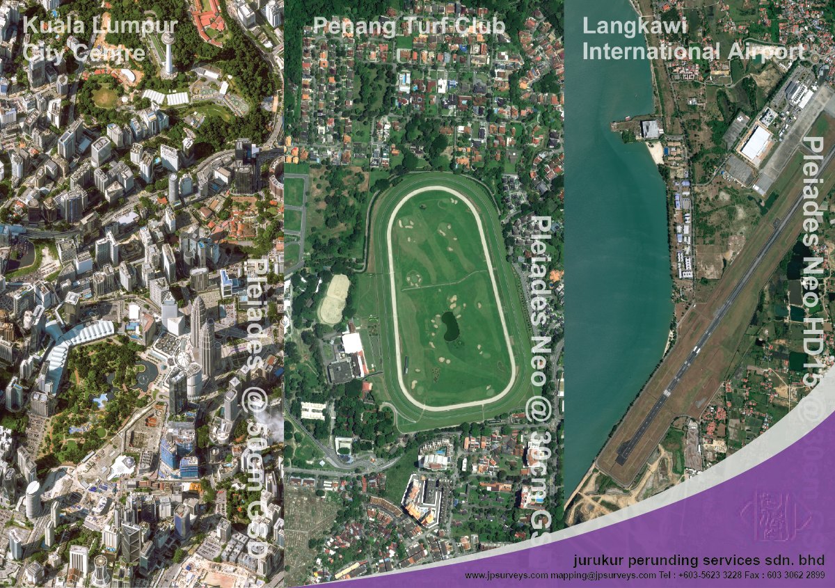
3D terrain visualization is the process of transforming elevation and spatial data into realistic, interactive models of the earth’s surface. At JP Surveys, we use LiDAR scanning, UAV photogrammetry, and advanced geospatial software to create accurate digital representations of natural and built environments. These models support engineering design, slope analysis, environmental assessments, and infrastructure planning by offering detailed insight into terrain characteristics from multiple perspectives.
JURUKUR PERUNDING SERVICES SDN BHD 197801000924(37933-V)
No7. Jalan Industri PBP 3,
Taman Industri Pusat Bandar Puchong
47100 Puchong, Selangor Darul Ehsan
Tel : +603-5623 3228
Emails :
info@jpsurveys.com
mapping@jpsurveys.com (Mapping)
surveys@jpsurveys.com (Land Surveys)
Powered by keepdesign