Since 1974, JP Surveys has delivered trusted land and geospatial services across Malaysia and beyond. Backed by decades of experience and a commitment to precision, we help clients make confident decisions—from planning to execution.
Our Story
Where Precision Meets Legacy
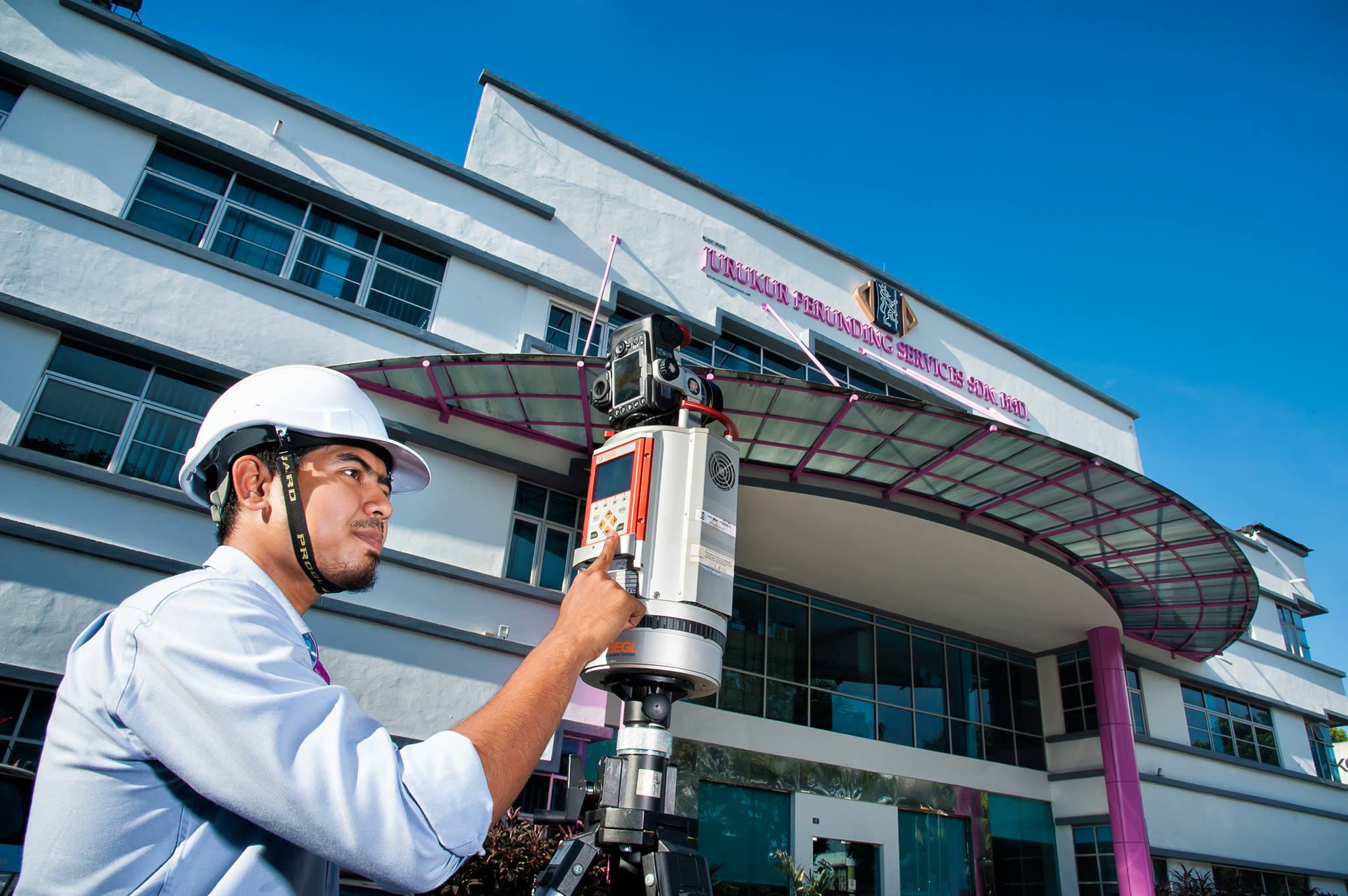
Founded in 1974 and incorporated as Jurukur Perunding Services Sdn Bhd in 1978, JP Surveys has established itself as a premier provider of surveying, mapping, and geospatial services across Malaysia and neighboring countries
Headquartered in a 30,000 sq ft facility in Puchong since 2008, the company supports both public and private sector clients with a wide range of solutions, including land and hydrographic surveys, aerial mapping (UAV/drone), space imaging, and digital photogrammetry
Vision
To efficiently and effectively provide a comprehensive range of excellent and innovative surveying, mapping and geospatial related services in tandem with the national vision of attaining a developed nation status.
Mission
To build on traditions of quality, efficiency and value, in providing surveying, mapping and geospatial related services that meet the needs and requirements of our clients and communities in which we operate in.
Our Core Values
At JP Surveys, we are guided by a set of core principles that define how we work and what we stand for
QUALITY
To ensure that all its surveying, mapping and geospatial related services rendered meet or exceed all contractual requirements of clients
INNOVATION
To continue improving and developing its surveying, mapping and geospatial related services, to develop new approaches and methodology together with clients to fulfil every specific requirements
COMPETITIVENESS
To establish an efficient and cost-effective management, processing and delivery system that offers quality values and satisfaction
SERVICES
To maintain a proactive, professional and proficient team of personnel who manage, execute and deliver efficiency and effectiveness in all aspect of services
Corporate Goals
Defining the Standards That Shape Our Work
Excellent Technical Consulting Services
We strive to deliver expert consulting that is tailored to each project’s unique requirements.
Accurate Geospatial and Information Dataset
Our commitment is to provide high-precision geospatial data that supports effective planning, development, and decision-making.
Quality Products and Services
We aim to exceed client expectations by maintaining the highest standards in both our deliverables and client service.
Need a Tailored Solution? Get in Touch With Us
We deliver solutions that align with your specific project requirements. Our team provides expert support and clear direction, ensuring you get the results you need—efficiently, accurately, and professionally.