Geoinformatics integrates GIS, remote sensing, and spatial analysis to transform complex geospatial data into actionable insights—enabling smarter planning, monitoring, and decision-making.
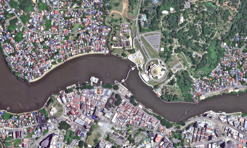
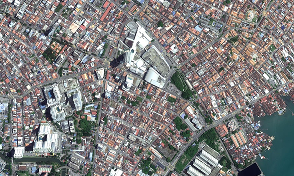
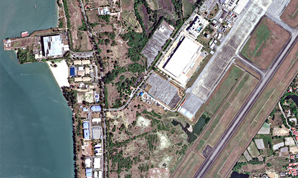
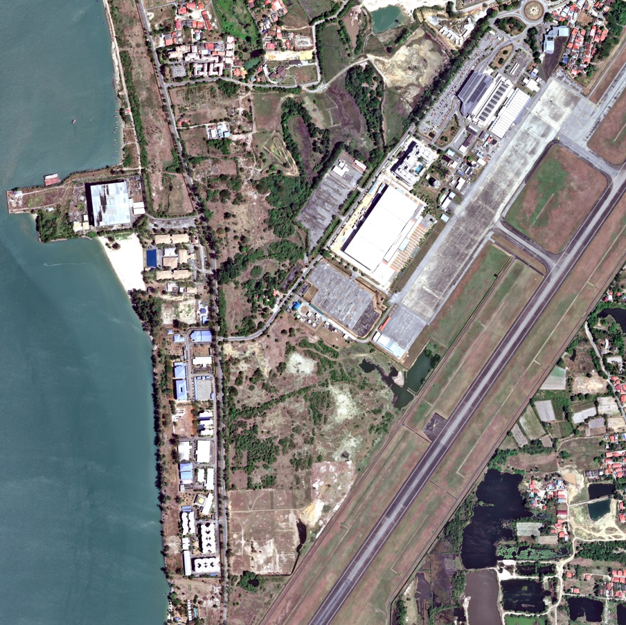
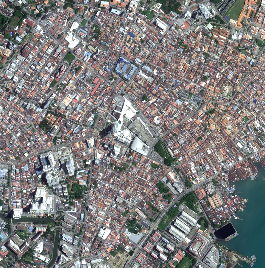
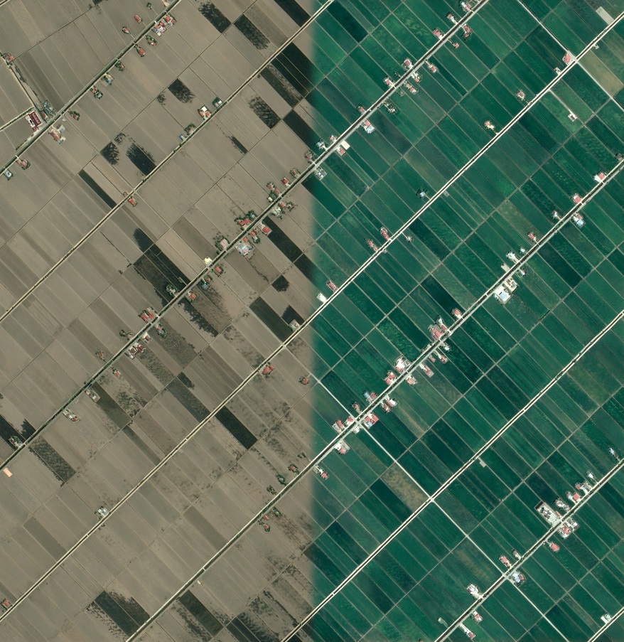
Imagery – Satellite imagery gives more than just views from space—it reveals details on land, water, cities, and forests with incredible clarity. It helps monitor crops, track urban growth, and guide disaster response.
Digital Elevation Model (DEM) – DEM provides precise elevation data that reveals the shape of the Earth’s surface. They provide accurate elevation and terrain data for engineering, construction, flood modelling, and land-use planning.
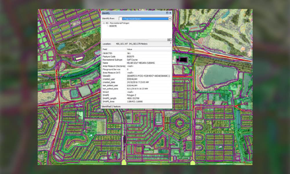
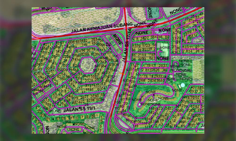
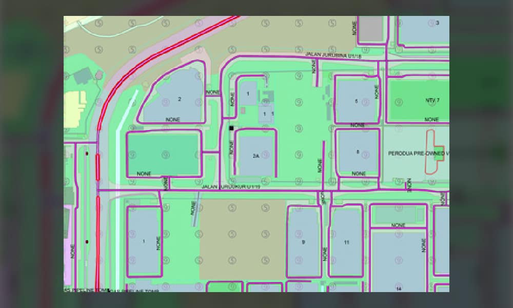
Geographic Information System (GIS) – GIS brings data together on interactive maps. By layering information, it helps spot patterns, track changes, and support smarter decisions in planning and resource management.
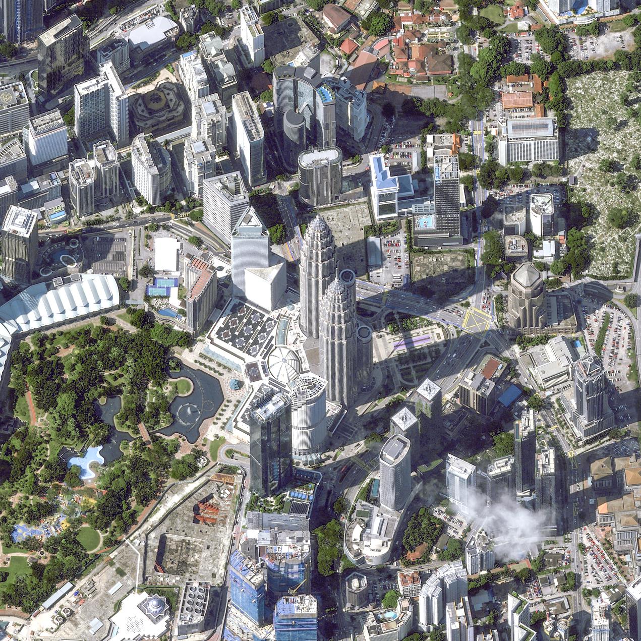
Provides detailed views of land, cities, and oceans for precise monitoring and smarter planning.
Detects changes beyond the visible spectrum, supporting effective crop, forest, and resource management.
Combines mapping, satellite imagery, and geospatial databases for a complete view of any project area.
Delivers tailored platforms and applications to meet industry-specific and project-driven needs.
Turns complex datasets into clear, visual intelligence for smarter strategies and policies.
Enables data-driven decisions for land use, utilities, and sustainable development.
Enables data-driven decisions for land use, utilities, and sustainable development.
JPSurveys has been in the satellite image business since year 2000. Currently we are Airbus Authorized Reseller, carrying all the data and services under Airbus Defence and Space.
a) Satellite Data Acquisition – Providing high-resolution and multispectral imagery for diverse applications.
b) Image Processing & Enhancement – Orthorectification, mosaicking, and correction for accurate, ready-to-use datasets.
c) Change Detection & Monitoring – Identifying and analyzing land-use changes, deforestation, urban growth, and natural disasters.
a) Terrain & Landform Analysis – Providing contour and slope mapping to guide engineering and land-use planning.
a) Geospatial Database Development – Building and managing robust GIS databases tailored to client and project requirements.
b) Data conversion – Converting data from non-GIS formats into GIS-ready datasets for seamless integration and analysis
c) Vectorisation of Raster Maps – Transforming raster maps into vector data to enable precise mapping, editing, and spatial analysis.

We deliver solutions that align with your specific project requirements. Our team provides expert support and clear direction, ensuring you get the results you need—efficiently, accurately, and professionally.
JURUKUR PERUNDING SERVICES SDN BHD 197801000924(37933-V)
No7. Jalan Industri PBP 3,
Taman Industri Pusat Bandar Puchong
47100 Puchong, Selangor Darul Ehsan
Tel : +603-5623 3228
Emails :
info@jpsurveys.com
mapping@jpsurveys.com (Mapping)
surveys@jpsurveys.com (Land Surveys)