Reliable ground survey solutions for construction, infrastructure, and boundary mapping—JP Surveys delivers precise measurements using total stations, GNSS, and terrestrial laser scanning.
Ground/Terrestrial Survey
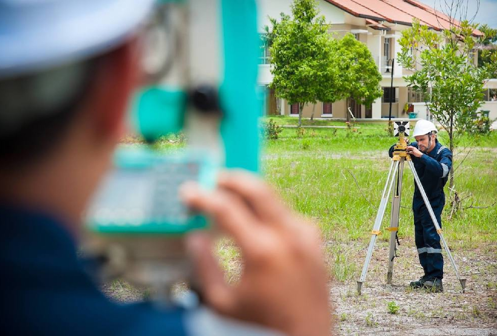
JP Surveys provides Ground and Terrestrial Survey services that support a wide range of land-based development and engineering projects.
These surveys capture accurate horizontal and vertical measurements for features on the Earth’s surface using tools such as GNSS receivers, total stations, and terrestrial laser scanners. The data collected enables the production of topographic plans, boundary maps, volume calculations, and detailed 3D site models.
With a focus on precision and efficiency, these services are fundamental to project planning, design, and execution.
Key Features & Benefits
High-Precision Data Capture
Utilizes GNSS, total stations, and laser scanning for accurate terrestrial measurements.
Topographic and Cadastral Mapping
Supports land development, infrastructure layout, and legal boundary documentation.
3D Modelling Capabilities
Creates detailed digital terrain and surface models for engineering analysis.
Versatile Applications
Suitable for roads, railways, buildings, utilities, and large-scale land projects.
Supports Planning and Design
Provides foundational data needed for decision-making in construction and development.
Efficient Field-to-Office Integration
Fast data processing ensures timely delivery of results and reporting.
Our Solutions
Detailed Scope of Work
Services Offered :
Topographical Survey
Precise Levelling
Terrestrial Photogrammetry
Engineering Survey
Geodetic Survey
GPS Positioning and Surveys
Deformation Survey
Terrestrial Laser Scanning / Lidar
Need a Tailored Solution? Get in Touch With Us
We deliver solutions that align with your specific project requirements. Our team provides expert support and clear direction, ensuring you get the results you need—efficiently, accurately, and professionally.