Our Solutions

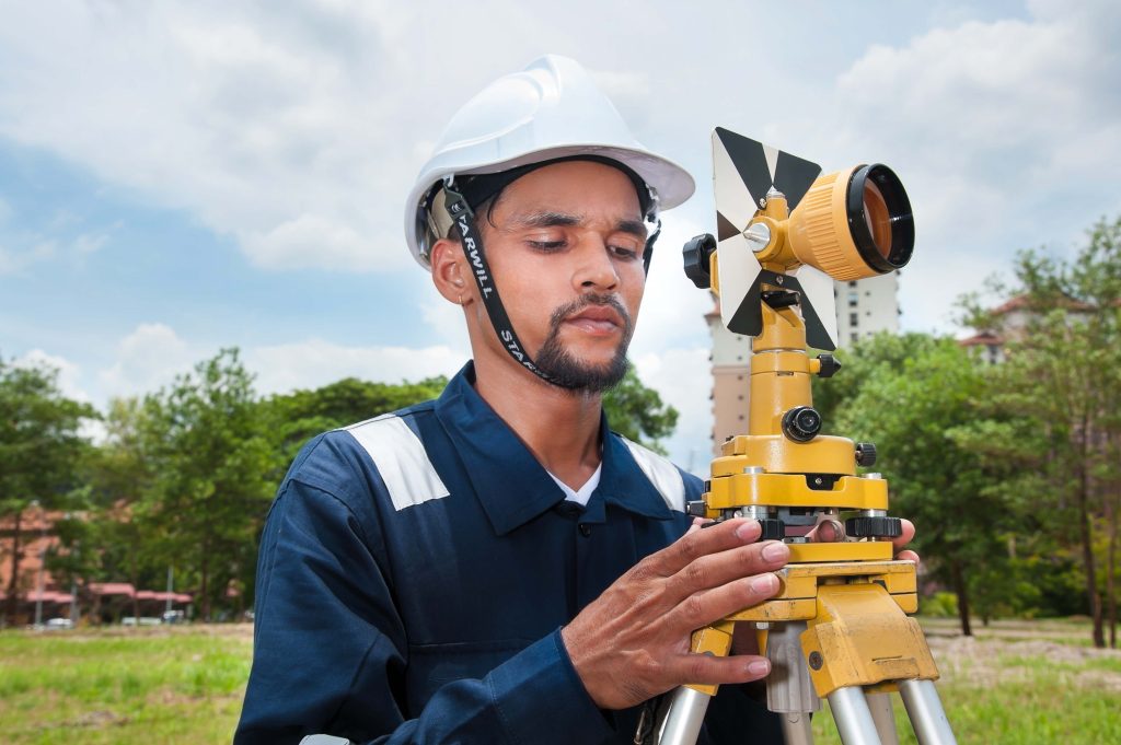
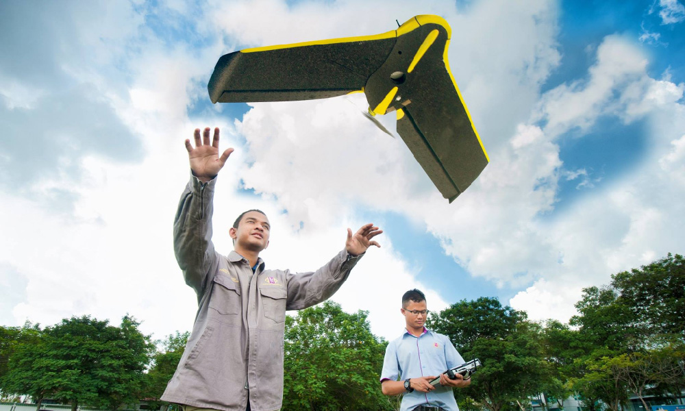
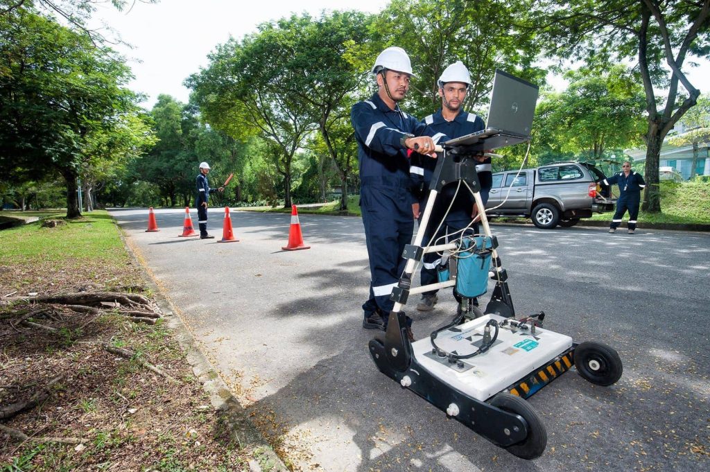
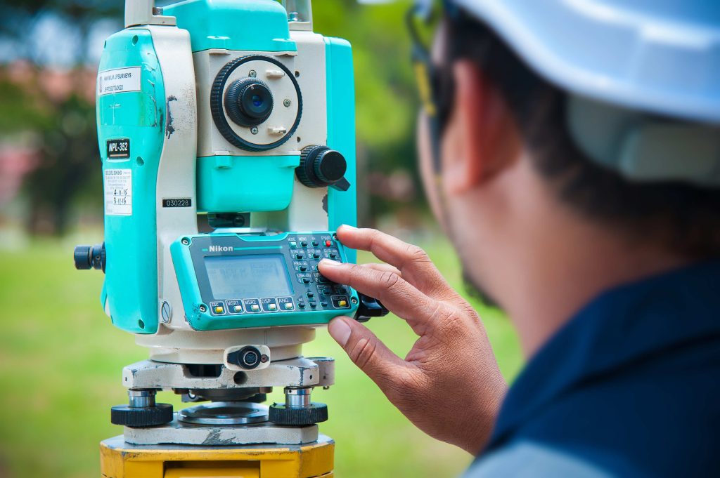
We deliver dependable, data-driven solutions tailored for land, sea, and aerial environments—empowering better decisions for development, infrastructure, and resource management.

Comprehensive Surveying and
Geospatial Solutions

Our solutions integrate precision, experience, and innovation to support public and private clients in projects ranging from urban planning and infrastructure to environmental studies and spatial development.

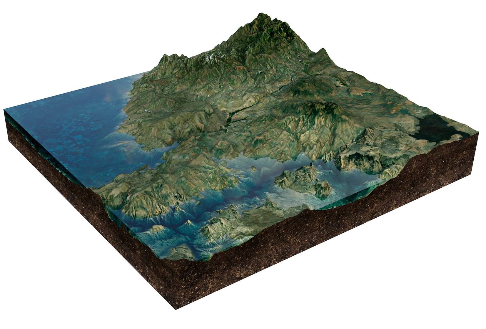
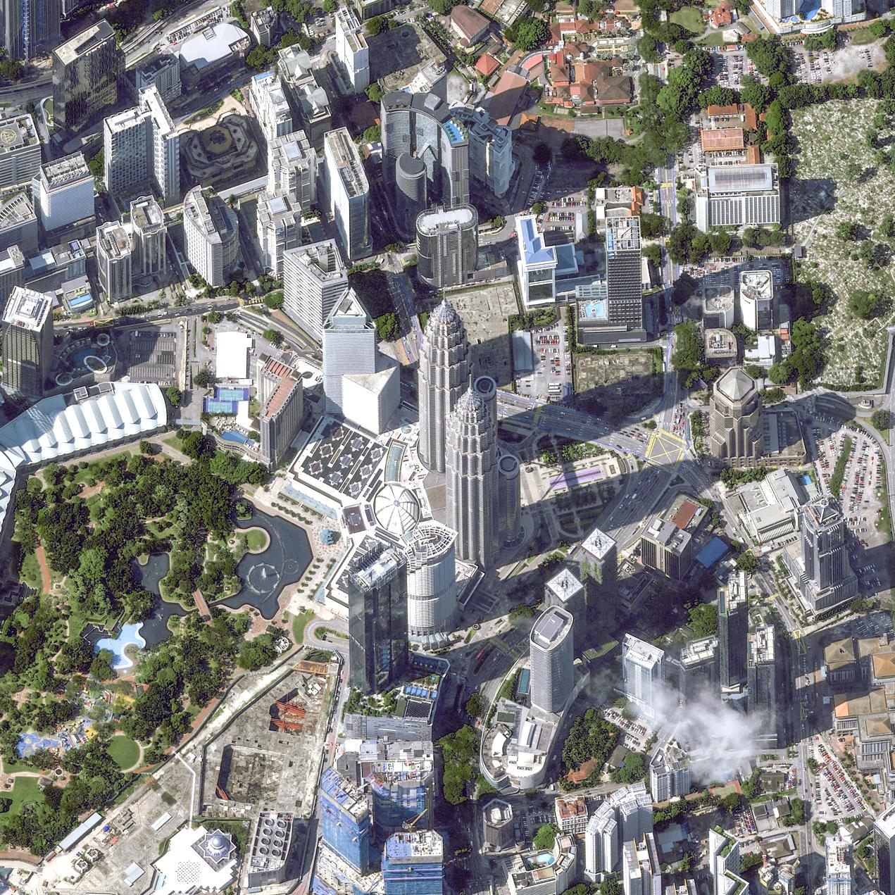
3D Flythrough And Visualization

Explore your project sites through immersive 3D visuals and animated flythroughs. 

IFSAR

High-resolution radar-based mapping for wide-area terrain modeling, ideal for inaccessible or cloud-covered regions.

LIDAR

High-precision laser scanning for 3D terrain mapping. Ideal for infrastructure, land, and surface analysis.

Cadastral Survey

Defines legal land boundaries for ownership. Essential for land titles and development planning.

Aerial Mapping/UAV/Drone Survey

Captures high-resolution aerial data quickly. Ideal for large-scale mapping and monitoring.

Underground Utility Mapping

Detects and maps buried infrastructure. Reduces risk in excavation and development.

Geoinformatics

Transforms spatial data into actionable insights. Supports planning, analysis, and decision-making.

HYDROGRAPHY

Accurate underwater mapping for ports, rivers, and coastal projects—essential for safe navigation and marine development.

Ground / Terrestrial Survey

Captures precise land-based measurements. Essential for construction and site development.

Need a Tailored Solution?
Get in Touch With Us

We deliver solutions that align with your specific project requirements. Our team provides expert support and clear direction, ensuring you get the results you need—efficiently, accurately, and professionally.